Rif Mountain Walk

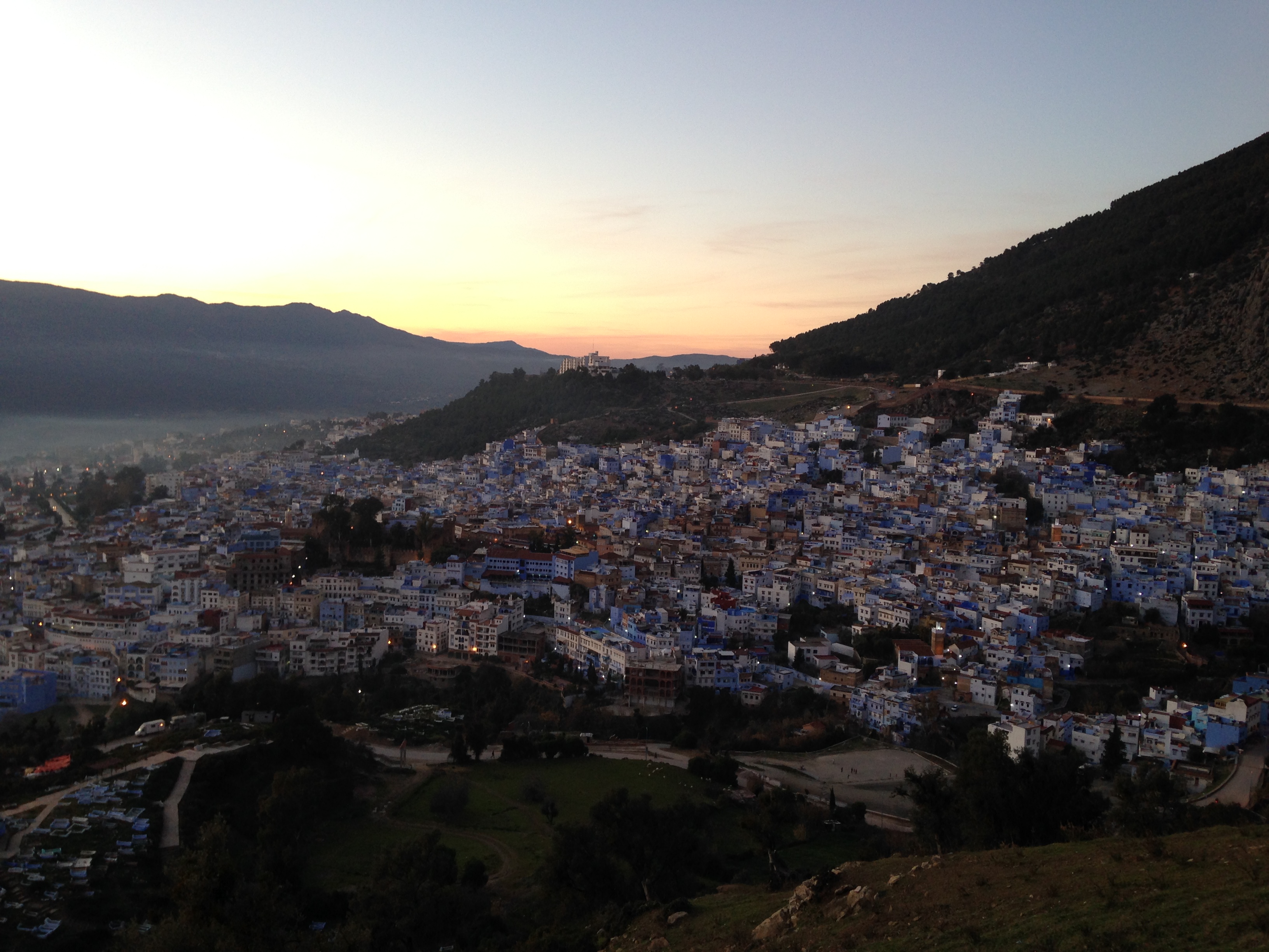
(Chefchaouen, Northern Morocco)

Time: 3 – 6 hours, depending how young and fit you are.

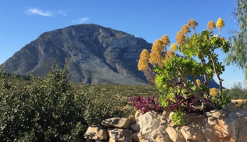
This is a proper mountain walk, with crags and scree slopes, eagles and ravens. It has the feel of some of the walks in the Snowdon Range in Wales, UK. At a starting height of about 500m and a topping-out height of about 2000m, it feels like exercise; steep, but not quite a scramble and short enough to enjoy without the fear of running out of daylight.
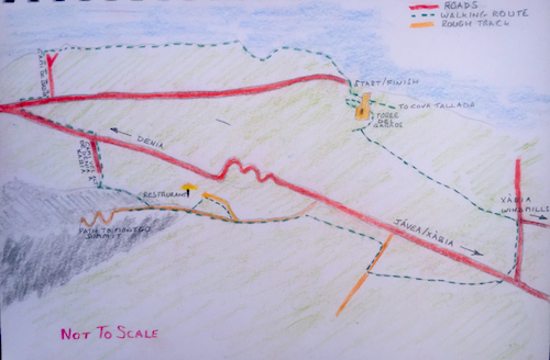
The Route

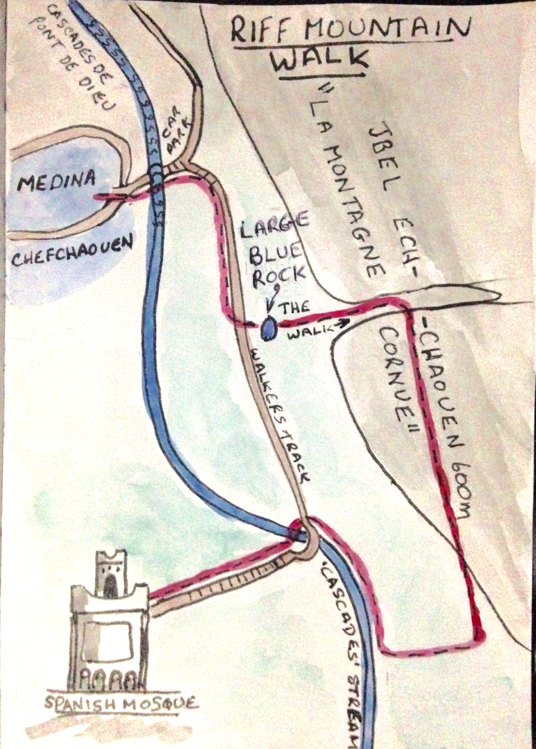
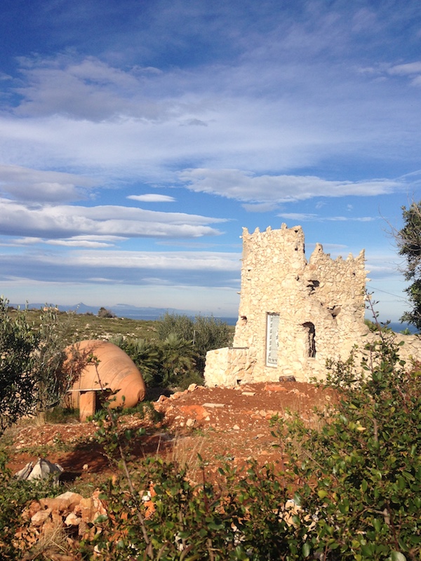
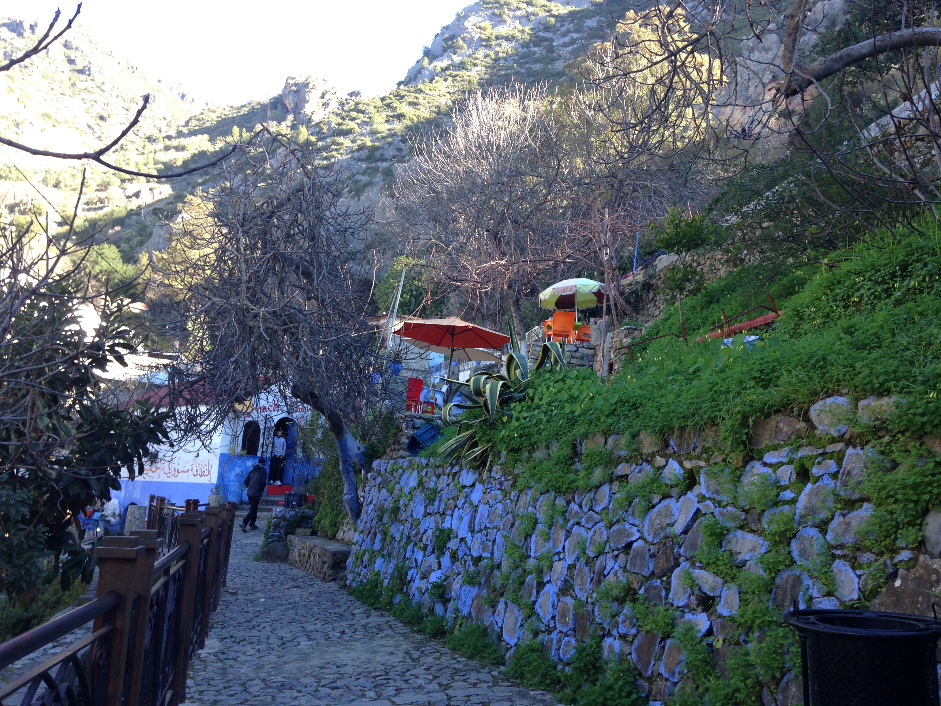
From the Medina, look for the pure white ‘Spanish Mosque’, which is high on a hill at one end of the valley that runs along the base of the mountain. The walk will begin by heading towards this beautiful Mosque. Follow the signs, or ask directions, to the popular ‘cascades walk’. Just outside the Medina, cross the river; using the bridge provided, walk through the car parking area and bear right, up a flight of steps. You are now on route to the Spanish Mosque. The path is a well made-up track, with the town on your right and the Rif mountain ridge rising steeply on your left.

Part of he Cascades Walk

Keep on this path until you see the large rock that has been painted blue, it will be on your left. This rock marks your moment to turn left and get your walking legs going.

The blue rock and, just beyond it, the cleave in the rock; your entrance to the walk.

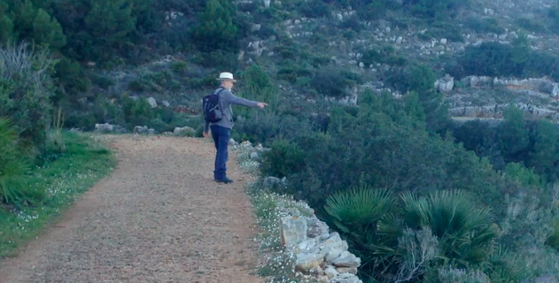
Head straight into the cleave between the two mountain tops and make your way up to the top. The path is quite well trodden and stays close to the left hand wall of this wide gulley. Other paths are available and all head to the top, with the odd branch to the left and right. It is very hard to go wrong here.

It is not as bad as it looks.

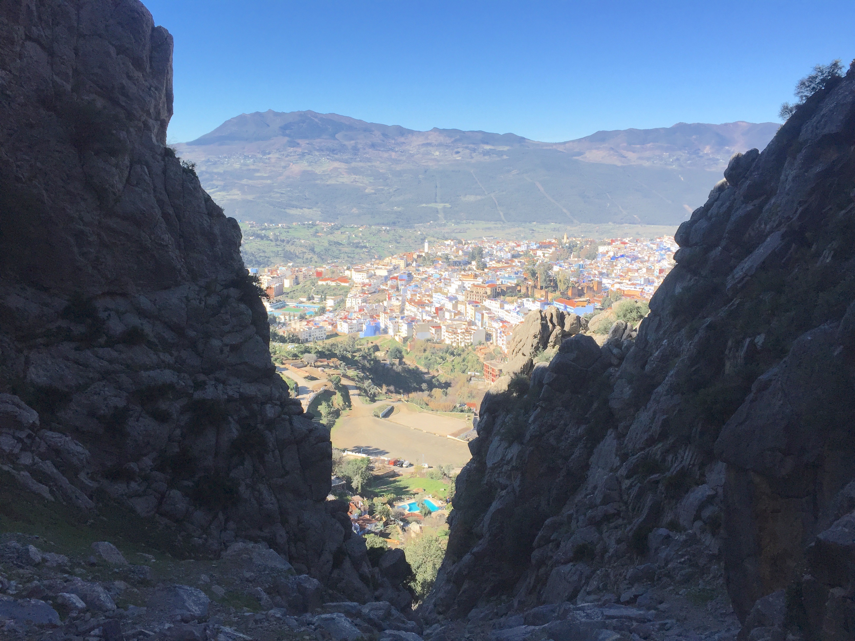
Once at the top, turn right and follow your nose. Your aim is to keep the Spanish Mosque in view, as much as possible, on your right-hand side, and to walk the ridge at the top and then follow the path down the gentle slope of the mountain’s flank, back to the ‘Cascades’ stream.

Time for a breather.

A good finish to the walk is to carry on to the Spanish Mosque to watch the sun go down.

Sunset from the Spanish Mosque.

Montgo Low Level Loop

Montgo

12 kilometers, 4 hours, 200 metres climbing.

The climb to Torre Del Garros is the only true ascent on this walk. Standing 150m above the Mediterranean shoreline the tower commands spectacular panoramic views. The walking is on rough stoney paths and cart tracks with a small amount of tarmac roads. There is some parking at the end of the Care del Mohya les Arantes just past the Mena restaurant. It can also be reached by bus from Denia. This is the start point.

Take the road marked as a walking route for the Cova Tallada and follow the switchback road until you reach the Torre Del Garro. Pass the tower and take the obvious track turning off to the left. The path is well used though quite rocky and continues like this for around 3k. On the right you have the fortress cliffs of Muntgo below which you will see the so called ‘Ghost Town’, an abandoned holiday development. 

Settlement

After 3k you pass through a small settlement and join a wide gravel track, follow this until it meets a tarmac road. Straight over leads you to the Moulins (windmills) at Javea, our route leads you along the road to the right. After 500m you will meet the Denia to Javea road which you cross and a woodland track continues beyond.

White and yellow route marker

This track continues until it meets another gravel track. Turn right and, after another 500m, left onto another woodland track. After a short time you again meet a gravel path and turn left. Montgo now appears to rear up in front of you so you may feel the need to make a 500m detour, right, to the nearby restaurant for refreshments. Otherwise carry straight on at the barrier. You can rejoin the route from the restaurant area if you want.

Information board near restaurant

1k from the restaurant there is a finger post indicating the Cova del Camel; take this narrow track. Eventually the track drops into a narrow gorge and at the far side of the gorge, you will see the broad track called the Carrer de la Colonia. Make your way with care and reach the Colonia. After 500m there is a small track dropping away to the right and in the distance a development of whitewashed houses. Take the track until it joins the Cami Vell Alt de Denia A Xabia. At the end of the Cami Vell a right turn leads you to the Denia to Javea road. Denia is within easy walking distance to the right.

Look for the return track here

To return to the car park, walk toward Denia and on reaching the Hotel Poblets, turn right onto the Carre Barrone del Mohya les Arantes. If you turn down the first road on the left, the Cami de Badia, you can make your way to the coast. Finally turn right for a pleasant seaside walk back to the car park.

Note Xavia/Javea are the same place.

From the tower look out for:

Valencia to the north.

Distant Ibiza to the east.

Cap de Sant Antoni to the south east.

Montgo to the south.

You may see:

Crag Martins hunting in the gorge below ‘Ghost Town’

Sardinian Warbler

Black Redstart

Stonechat